Discover the day by day details of our 5 days hike in Hornstrandir Nature Reserve. This is a lifetime adventure in one of the most remote place of Iceland surrounded just by nature.
Check the related post Plan a 5 days hiking trip in Hornstrandir – Iceland if you are interested to learn more about practical and organisational information.
5 days hike in Hornstrandir
Starting in the south from the fjord Veiðileysufjörður, we took north east direction to Hornvik. From there we did a loop to Hornbjarg in the north. After a second night in Hornvik Campground we hiked west of Hornstrandir passing by the lake Flötsvatn to arrive to our final point Látrar (Aðalvik).
We walked a total of 66.4 km with 2,350 m elevation. As you can see in the detailed tour description below, in most of the stages we were hiking between 11km and 13km with an elevation of 500m.
Day 1 – Veiðileysufjörður to Höfn (Hornvik)
Our first day consisted of taking the boat at 9:00am from Isafjordur to Veiðileysufjörður. The journey lasted approximately 1 hour. Once arrived at destination, a smaller raft took us to the beach.
On that first day, there was no rain, only high clouds in the sky. We started our 11km hike with good visibility. We quickly realized that the ground was wet, really wet; many streams or moss full of water were in middle of the path and we needed to find our way to keep your feet dry.
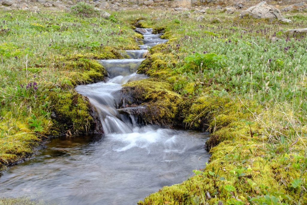
After a kilometre along the sea, we started to climb slowly along streams and waterfalls. When looking back, we had a great view over the fjord Veiðileysufjörður from where we started our adventure.
We also realized during this first ascend, that there was still snow from the past winter which we couldn’t avoid. Once at the first pass wich was 500m above sea level, a bigger surprise was waiting for us… we had a gorgeous view on Hornvik bay in front of us and Hornbjarg mountains in the background.
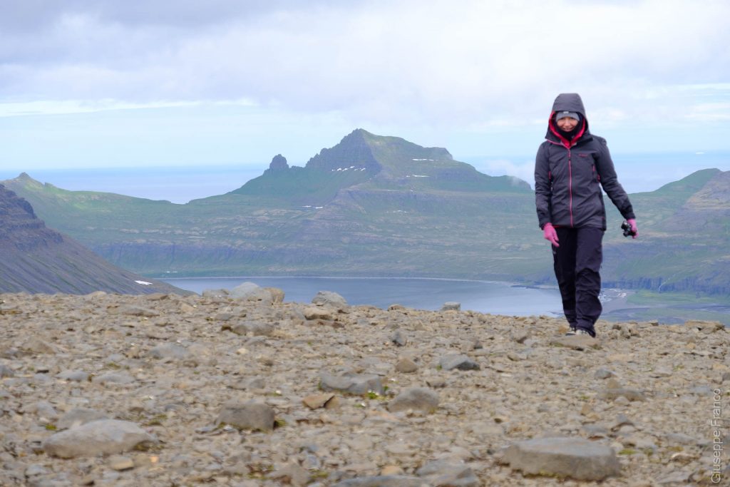
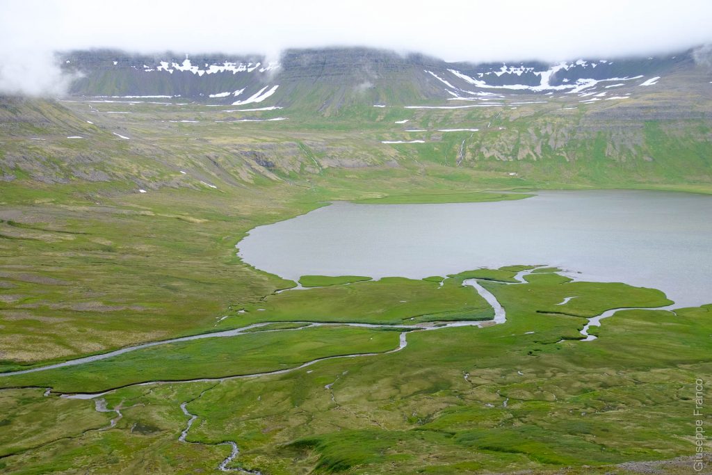
A descent through some snow patches, rocks and grass took us by the crest of a large semi-circular chain of mountains where we could admire waterfalls on their sides and wetlands with lakes and river on the bottom. Only 2.5 km were left to arrive at our first campground in Hornvik.
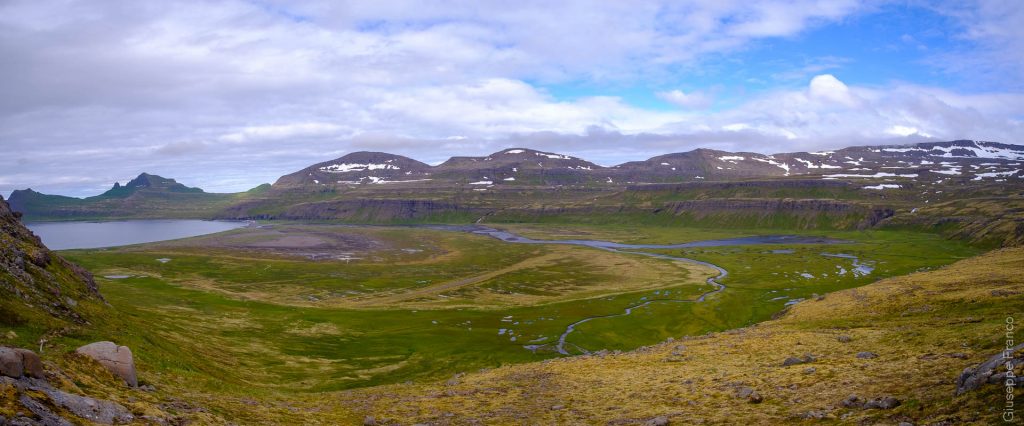
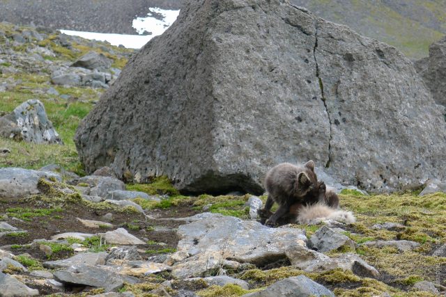
Once arrived on the plain, we did a small pause lying on the grass. We could observe arctic foxes, as well as many birds flying around and by the lakes on the other side of the plain. A few steps ahead and we were at the campground to pitch our tent and eat our first meal.
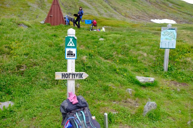
Because of its proximity to Hornbjarg, Hornvik campground is the most popular and crowded for people who comes to hike in Hornstrandir. Crowded in that place of Iceland, means maybe 10 tents with less than 20 people. This camp had water toilet, a stream to take water, some tables and a hut for the ranger. I heard about that hut in 2009 when I was volunteering for the Environment Agency of Iceland, as a group of volunteer was sent there to help built the cabin.
Day 2 – Höfn (Hornvik) to Hornbjarg and back
We began the second day feeling lazy: we stayed in the camp, spent time by the sea and watched the arctic foxes. In the middle of the day, we finally had enough energy and decided to go. We prepared a day pack with the essentials, camera, binoculars, clothes and a snack, leaving most of our stuff at the campground. To go to Hornbjarg, we first needed to hike across the delta in sand and grass. There were many people exploring that particular area so it was difficult to follow the correct path.
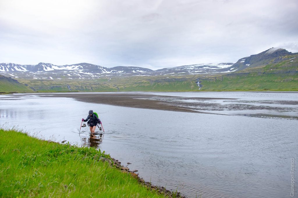
When we arrived by the river we had a big surprise: the river was more looking like a large lake. At first it was shallow and only our feet were wet; then we had to cross the deeper part with water up to our thighs. The water as every other river we had to cross, was freezing cold, it’s snow that just melted after all!
To find the correct position to cross, you can find some wood sticks on each side of the river, that indicate the best place for going across. If you check the highlight segment created in Komoot, you can see the path that is marked through the river.
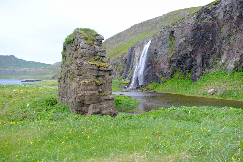
Once on the other side of the river, our path took us by a waterfall and basaltic columns standing out of the grass. During this hike towards Hornbjarg, the northern point of Hornstrandir, we passed by big piles of timber that arrives in Iceland floating from Central Siberia. During our 5 days hike we saw a lot of them along the way.
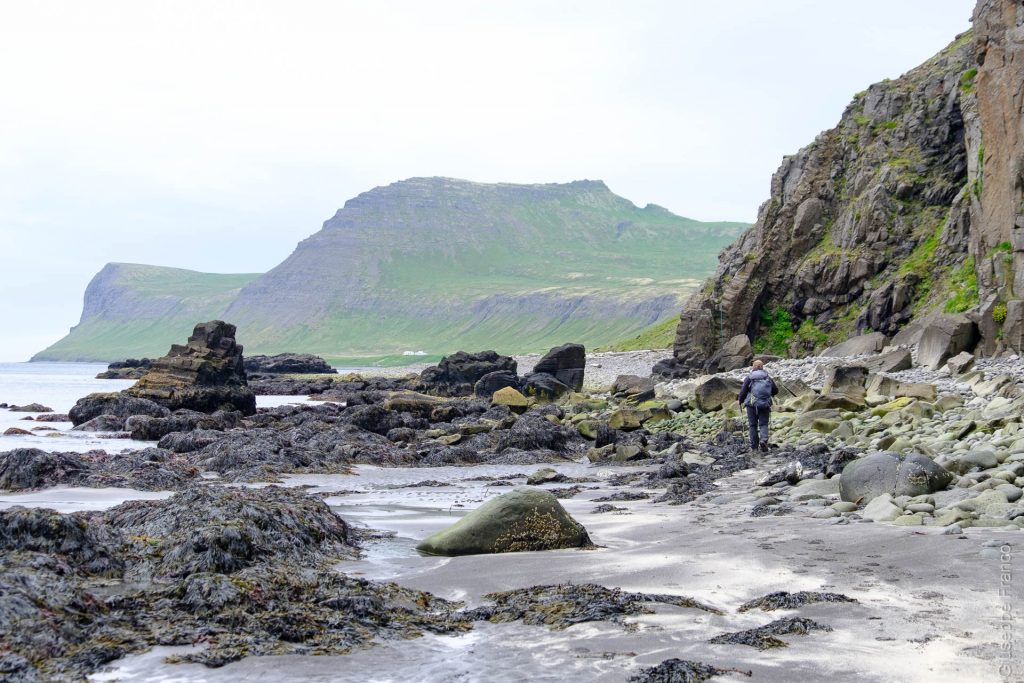
We then reached a black sand beach followed by magnificent huge round rocks covered by algues. Susanna loves rocks, she could spend hours contemplating the perfection of their shapes. Even myself would have loved taking some of those big round rocks back home.
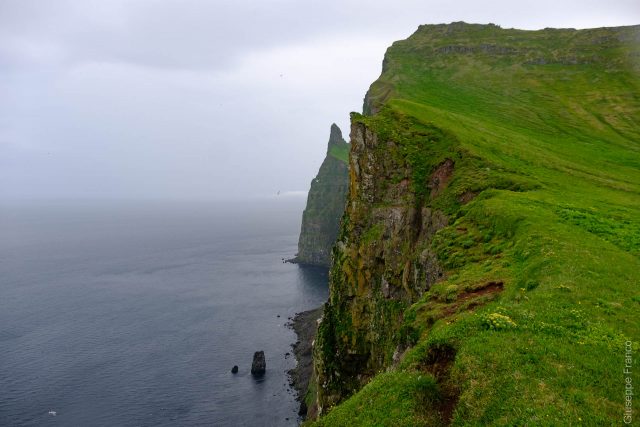
After forcing ourselves to stop looking at the rocks, we continued our hike slowly climbing up towards the Hornbjarg cliffs. It started to be rainy and windy while climbing up, that did not stop us from walking to reach our destination. During the ascend, we were close to the cliff ridge and the wind was strong: it was a bit scary and slightly dangerous. Sometimes for precaution, we had to seat down on the path to avoid losing our balance… we didn’t wanted to fall down the cliffs. I warned you in the other post, doing a hike in Hornstrandir is a proper adventure! Once the steeper part passed, we could already feel being on top of the mountain, some meters later we where there, by the cliffs.
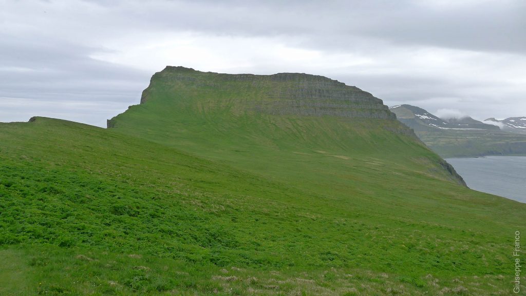
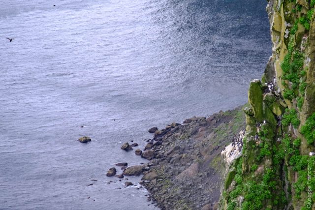
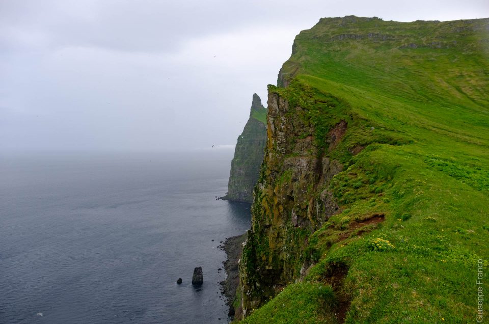
To be there, seated by the cliffs more than 200m above sea, was making a long time dream come true for me. In some places, Hornbjarg high cliffs are 500m above sea level. Watching the sea on the horizon makes you feel small in this world, especially when being alone at the top of that cliff. We stayed there for a while, enjoying watching the birds flying or nesting. You can observe puffins, gannets, kittiwakes, razorbills, guillemots and many other birds.
Because of the bad weather we were feeling cold so we decided to go back to the campground. For the return we tried to cross the big river by the beach, but the river bed was too deep, so we went to take the same route as earlier. I can guarantee that crossing that river again, wasn’t pleasant especially when you feel already cold.
Doing this optional hike of our Hornstrandir adventure, was worth the effort. Even with the bad weather we really had a great day full of wonderful memories.
Day 3 – Höfn (Hornvik) to Hlöðuvík (Hælavik)
Day 3 of our hiking trip to Hornstrandir: it is time to pack the tent and hike west. The weather seemed ok, a bit cloudy but at least the rain had stopped.
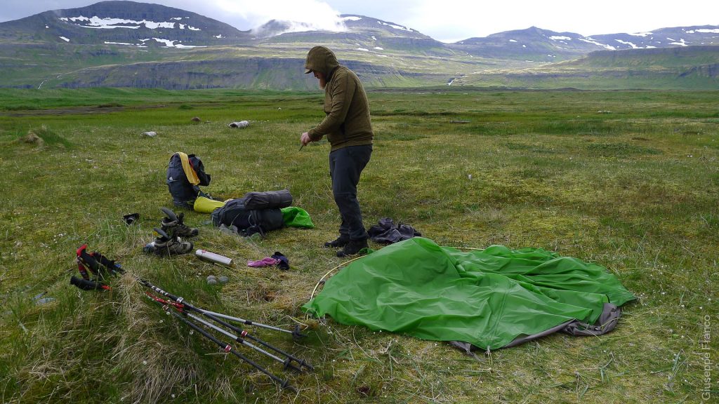
Our walk started with a path going around the mountain edge along the sea. The trail was first in the grass but soon we realised that to walk by the beach was the easiest solution as the cliffs where going down to sea level. In some places the rocks would reach the water so we had some quite technical passage to do. Thankfully ropes were in place to help hikers overpass the difficulties.
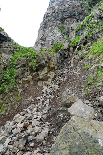
Before leaving the seaside, some big rocks were forming small islands in the sea. Many birds were flying around and paused to watch them for a moment. At Hornvik campground we met some volunteers, their mission was to count birds in that area, they probably had checked that place too.
After going around the first mountain following the sea, we had a deep river to cross. Many timbers were there and I managed a risky crossing without taking my shoes off. As the timbers and rocks were slippery and not stable, and by adding the weight of the backpack, chances were high to end up with completely soaked shoes.
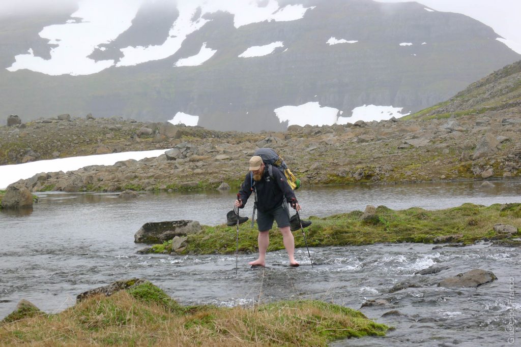
The trail was then taking us to a steep ascend through green slopes. There were some rivers to cross, and as usual the water was freezing cold. My legs were hurting as soon as I stepped in the water. If I saw a rock in the middle of the river, I would step on it in order to avoid the pain caused by the cold water on my legs (see the picture bellow).
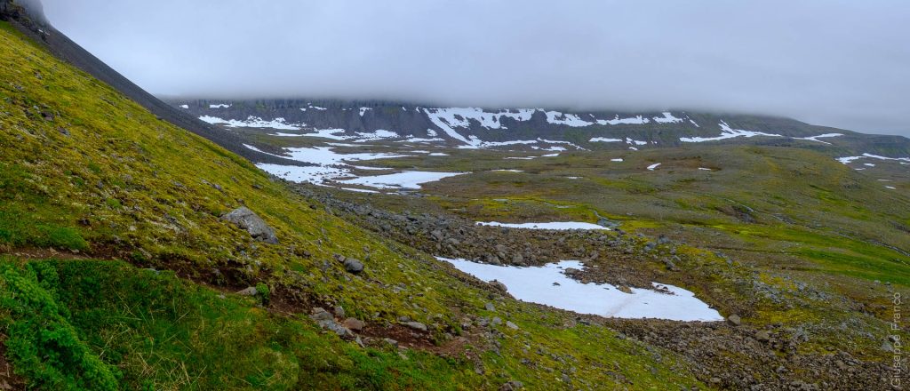
Once arrived at the first pass (320m asl), it wasn’t a long descend that was waiting for us, but a rather long path along the semi-circular side of the mountain. The C-shaped trail led us to the other side of the mountain to a pass with a wonderful view on the ocean on our right. This part of the trail was mainly flat, marked by wood sticks or cairn. It was easy to find the direction to follow, but we always needed to figure out were to step on the thousand of big rocks that were everywhere.
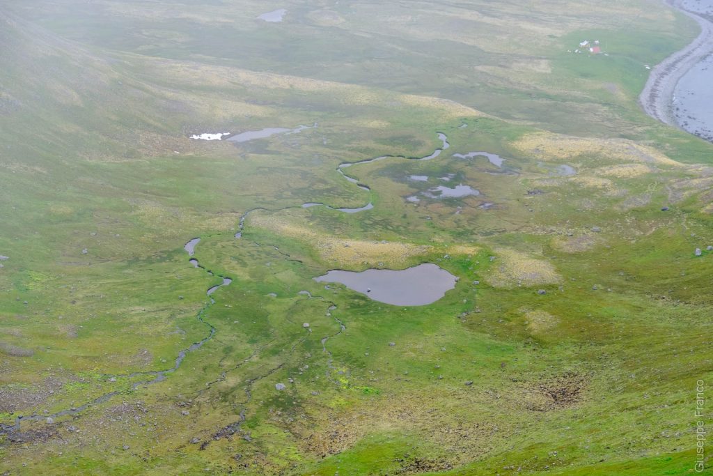
At the end of that path, a smaller ascend was taking us to another pass before the final descend. As soon as we started going down, some small lakes with meandering streams where visible on a plateau which was at middle level between us and Hlöðuvík bay.
We took a break and spend some time by the lakes. I took some aerial photography with my Mavic air drone. The drone didn’t like flying in the wet cloudy air and I got some strange warnings on the remote control. Despite the clouds, the resulting photographs of those lakes and streams from above are pleasant to watch.
Arriving by the sea, we had a deep river to cross just 50 meters before the campground of Hlöðuvík. This was another reminder of how cold the water was. We saw some seals not far from the cost, it was the first time for Susanna to see them in the wild.
The camping in the middle of that bay was great. It had nice areas to pitch the tents, some old timber to sit on, an emergency shelter and the sea right next to it. In that campground, there were less people than in Hornvik but still a few compared to the next one; probably because Hlöðuvík is a stop between Hornvik and Hesteyri, a popular hike in Hornstrandir.
Day 4 – Hlöðuvík (Hælavik) to Glúmsstaðir (Flötsvatn)
Susanna had her coffee sat in front of the sea, a relaxing moment to start the day. The hike began with a flat path on the beach. After less than 2 kilometres, we already had to cross a river. An old rusty tank was standing in the middle of it, maybe some remains of an old fish farm.
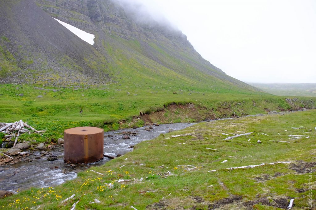
After crossing the river we couldn’t continue walking on the beach anymore and we took a path in the grass near sea level. That sounds easy but actually there were area with soaked ground so we had to turn around to find a way to keep our feet dry. The marking was also poor in that area; there were only few wooden sticks so we missed a turn and end up going a bit too far before to start our ascend. To have the GPS as well as the map was really needed to find our way.
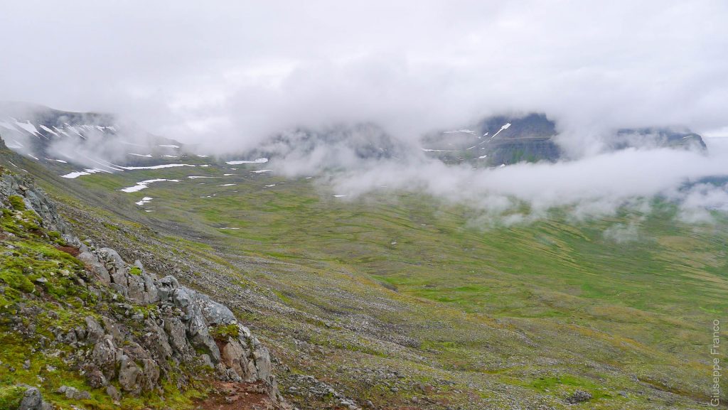
Our ascend would soon lead us into the fog which was quite thick that day. The plants were all covered with dew. Half way towards our destination, we arrived at the first pass. To have one or two passes everyday became a routine during our hike in Hornstrandir.
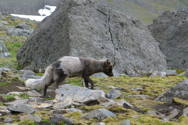
We were walking towards the second pass when we saw an arctic fox, only 2 meters distance on our left. She wasn’t afraid of us: she passed just in front of us before stopping in the middle of the path. She still had a bit of her winter white/grey fur while turning darker for the summer. We stopped to watch her, she sniffed the path, as if she was searching for food, then started clean herself. She stayed there for about 2-3 minutes before leaving.
After a small descent, a flat way and a second ascend in the fog, we reached the second pass. A nice phenomena could be observed, the fog was on one side and nothing on the other side. The clouds were going up along the mountain edge from the east and pushed away as soon as they would reach the crest. We stayed there observing this nice cloud dance for a couple of minutes before continuing.
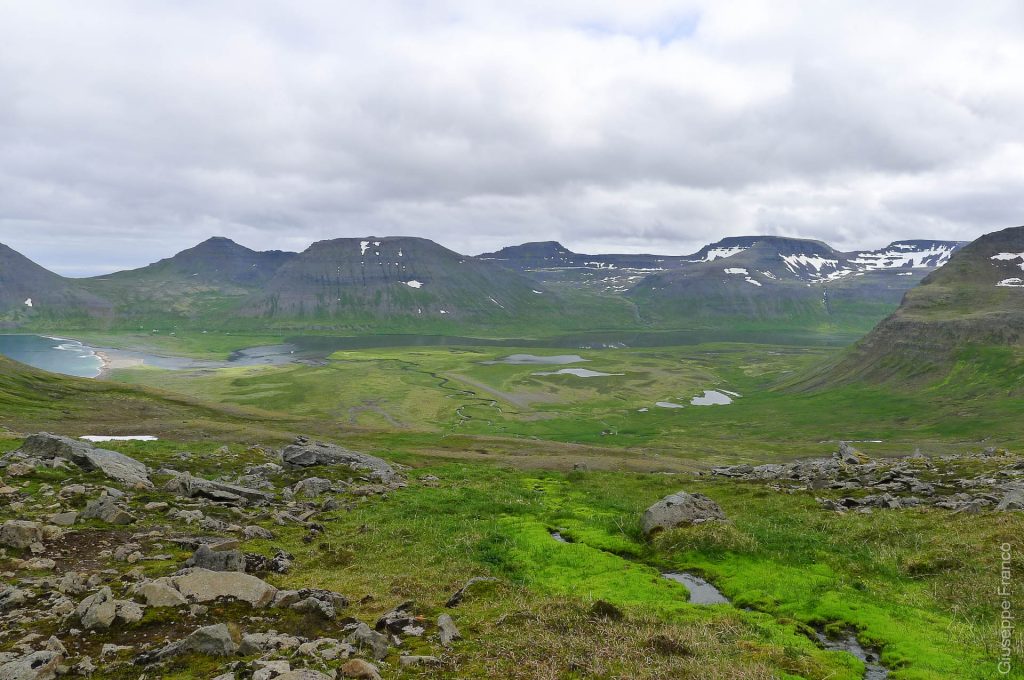
On the other side of the pass was a great view: some small lakes, some almost completely frozen. In the background we could already see the end of the lake Flötsvatn, where we would spend the night.
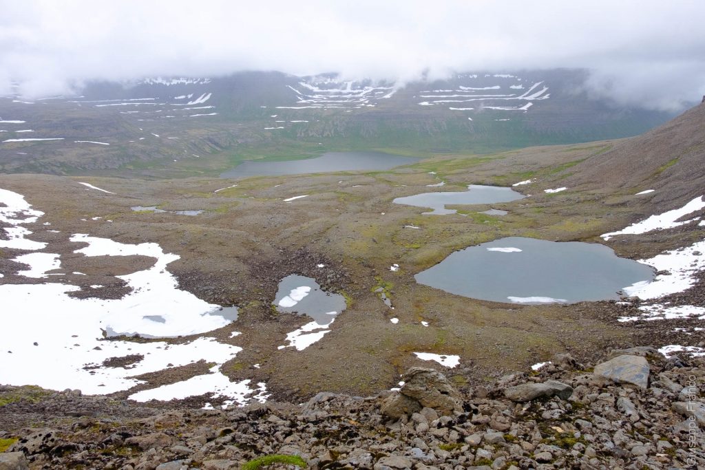
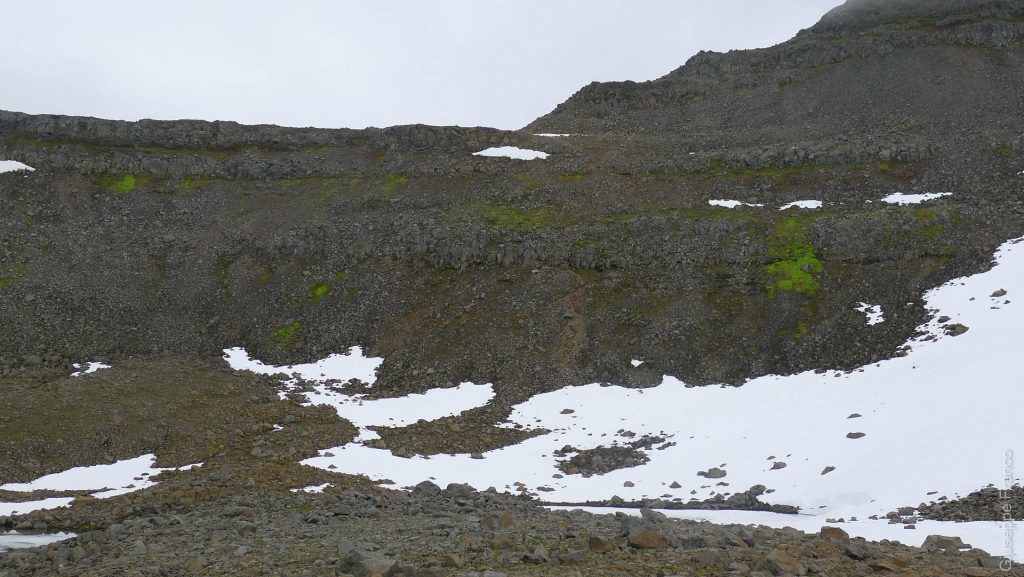
A really steep descent had to be done to go to the next campground. It was pretty difficult to go down through the cliffs especially with our heavy backpacks and tired legs. That was the only place where we saw one other person doing a hike in Hornstrandir during that day. On the picture below, you can imagine the steep path going straight down from the top right of the snow patch.
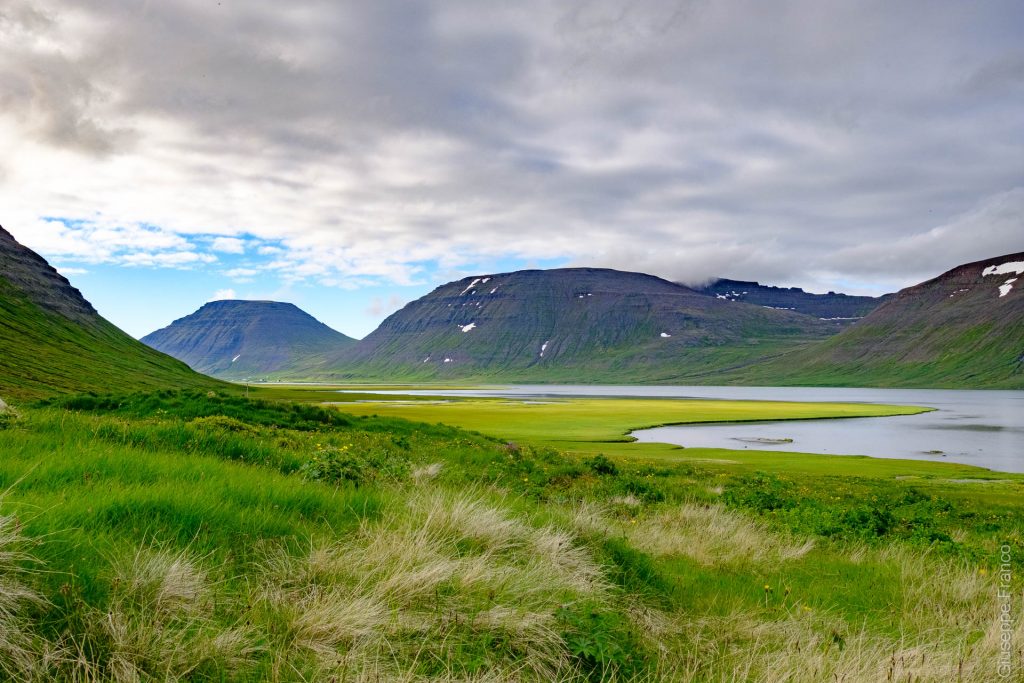
Passing the small plateau below the cliffs, a beautiful view over the lake and green wetlands was offered to us. We had another steep descend zigzagging down near waterfalls. We were then searching for the best way to cross the many rivers that were by the lake. For a river we had to go 200-300m upstream to be able to cross.
To avoid the wetlands we needed to walk another kilometre away to keep a good distance from the lake and then we arrived at Glúmsstaðir campground. That camp consisted of a dry latrine in the bottom of the hill and camping spots higher closer to the river in which we could take fresh water. Only 4 brazilian guys were present at the campground.
After pitching the tent and while preparing dinner, the sky started to clear at the other end of the lake, the marshland were turning into a nice yellowish green color. Having the tent uphill offered us a really nice view over Flötsvatn lake.
Day 5 – Glúmsstaðir (Flötsvatn) to Látrar (Aðalvik)
Day 5, our final day of this adventurous hike in Hornstrandir. We woke up earlier than the other days as our boat was leaving late afternoon on the same day. The trail led us by the lake, which had a lot of wet segments. Susanna end up as usual with a wet foot, left or right, we are not sure but each time she had a wet foot, it happened to be the same one.
While walking along the lake, as the official path was too wet, we had to improvise finding our way through ponds, heavy vegetation, rocks or wet grass. That wasn’t a pleasant part of the day as many black flies were flying around us. The flies were not biting but were really annoying. Thankfully that was the only place we saw them during our 5 days hike in Hornstrandir.
On that day I had no energy to go up, while Susanna was so annoyed by the flies and her wet foot, she was almost running uphill. During the climb we took the wrong way – we didn’t see a cairn and followed the wrong tracks. We end up climbing through big rocks on the mountain side. That was a bit unsafe and we had to be careful to avoid rockfalls especially because there were some people hiking underneath.
Crossing a small snow patch with cairns on it followed by a steep ascend, we thought we were arriving at the top of the mountain. After reaching the edge of the mountain side, which we thought was the top, there was another ascend waiting for us. The rounded top of Tunguheiði mountain was giving us many times a false impression.
We arrived and we were surprised by a special landscape, a moonscape I should say. It was an almost flat mountain top with no grass, just rocks and cairns.
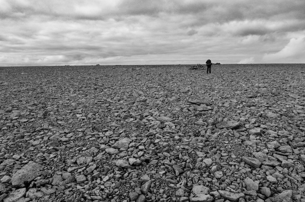
We were about half distance to our destination when we started to go down. We could see Aðalvik bay the whole time during our descend. We had a lot of fun while going downhill on long and steep snow patches, we were trying to ski on it. It was also funny to see the Brazilians going down using their backpack as a sledge.
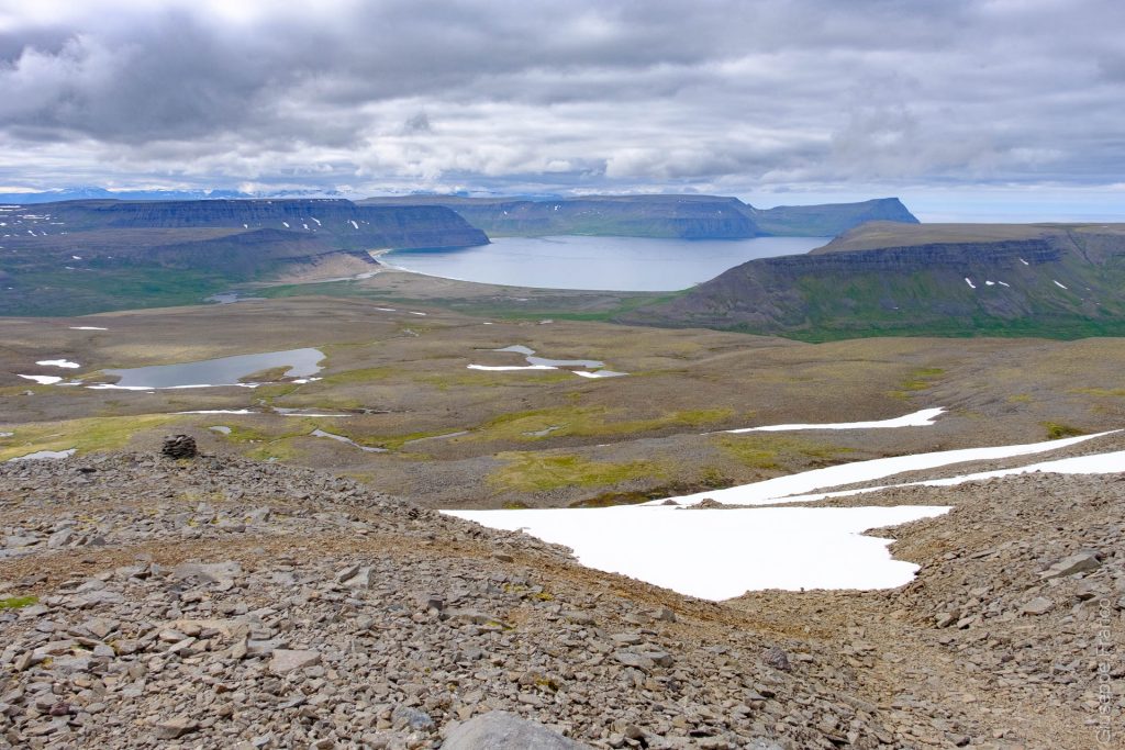
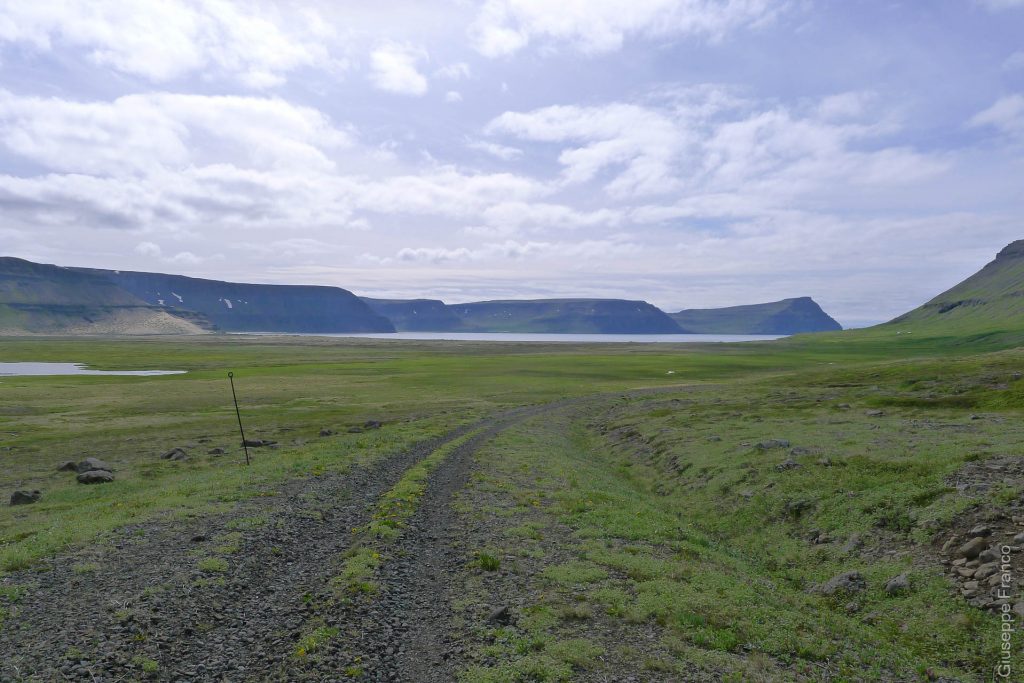
An almost flat plateau was giving our knees a rest before the last steep part of the trail. We then reached the first and only gravel road ever seen during that hike in Hornstrandir. That old road used to give access to an antenna built in 1951 by the United States on the top of Straumnes mountain.
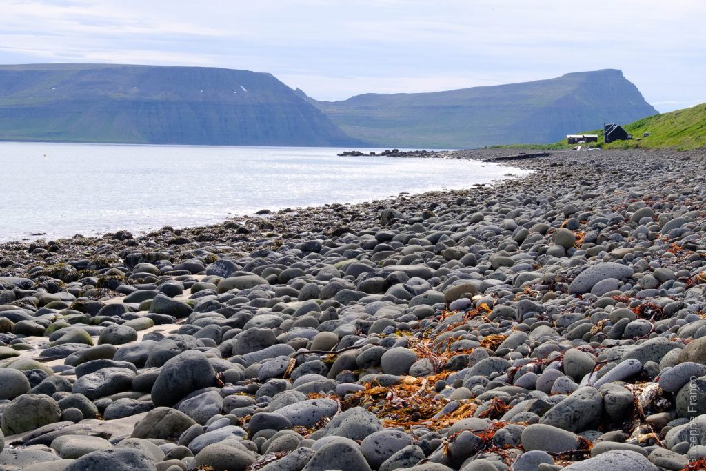
We arrived as planned in Látrar by the bay of Aðalvik. The beach was covered with big round rocks and the sun was shining. It was a pleasant moment to wait for the boat while having a coffee by the sea.
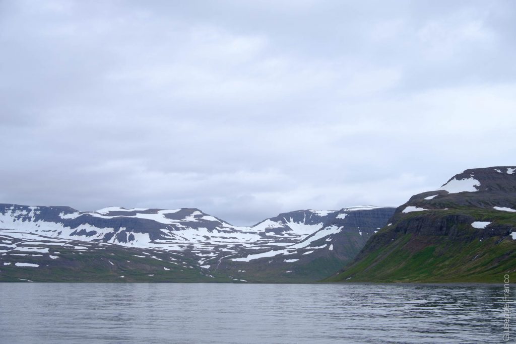
When the boat arrived, many people were disembarking to go to their summer houses for a few days. We helped them to unload their numerous luggages, food boxes and tools they took for their stay. Back on the boat, direction Ísafjörður, we stopped in the south part of Aðalvik bay to pick up other people as they were leaving their summer house.


Comment
Awesome adventure! Should’ve felt amazing to be back there… Loved reading it – brough back memories of our river crossings and Iceland hiking! 🙂